Geospatial Intelligence
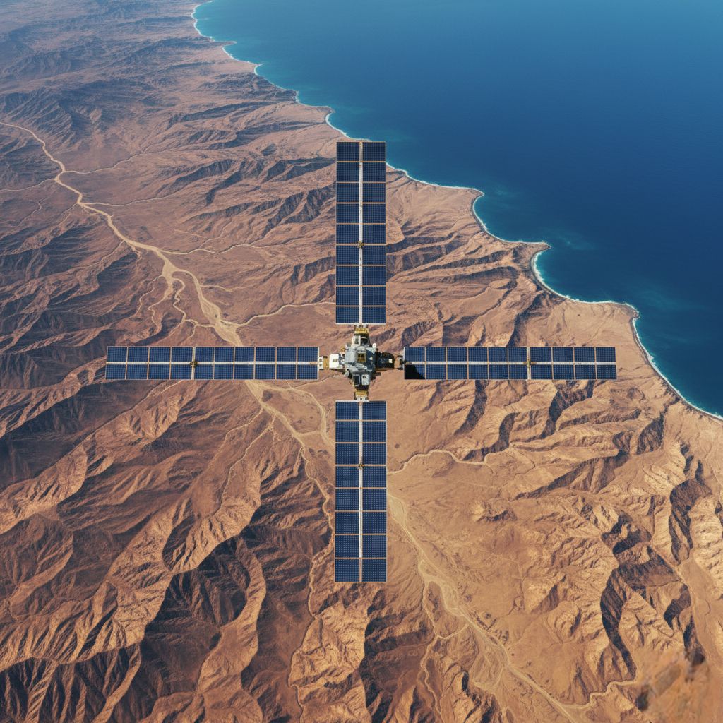
SAT ChangeDetect
SAT ChangeDetect delivers high-precision satellite imagery change detection using advanced deep learning to identify and quantify geospatial changes over time.
What We Offer
An operational satellite change detection platform designed for environmental monitoring, urban analysis, and infrastructure tracking.
Key Features
Transformer-based deep learning for high-precision change detection across time-separated satellite images
Automated AI/ML-based processing to reduce false alarms from large satellite data volumes
Terrain-adaptive preprocessing and multi-sensor satellite imagery support
GIS-ready outputs including GeoTIFFs and vector Shapefiles with preserved CRS and metadata
Web-based, no-install platform with automated end-to-end pipelines and fallback algorithms
Outcome
Detects and measures satellite-based change with high accuracy and GIS-ready deliverables.
Other Products

My Pleader
Digital legal practice management

Gap Ninja
Skills and capability intelligence

LineupLynx.ai
AI-powered cricket auction intelligence

Luxon
Preventive oncology screening platform

Secure Code Intelligence (SCI.ai)
AI-driven code security intelligence

MDU.ai
Multiple document understanding

SAT ChangeDetect
Satellite imagery change detection

Let's connect.
Reach out to us for any inquiries or just to say hello. Our team is here to help you grow.